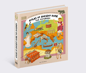
Atlases for Children
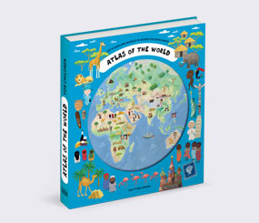
World Atlas
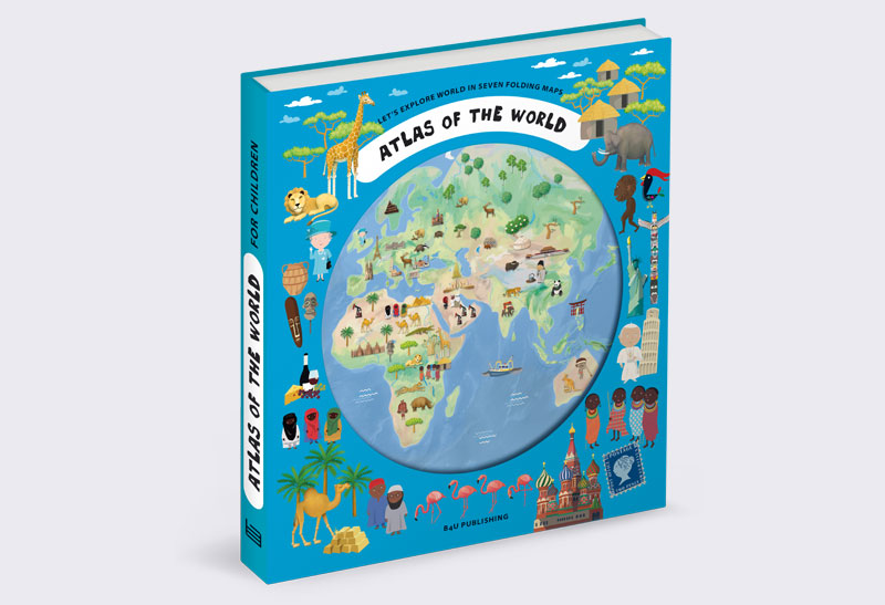
World Atlas
Written by Iva Šišperová, Oldřich Růžička
Illustrated by Pavla Kleinová, Zuzana Selingerová, Zuzana Musilová, Kateřina Wagnerová Hikade, Tomáš Tůma
ages 6-8
Book parameters:
230 x 260 mm (460 x 520 mm widespreaded) | hardbinding
Specification:
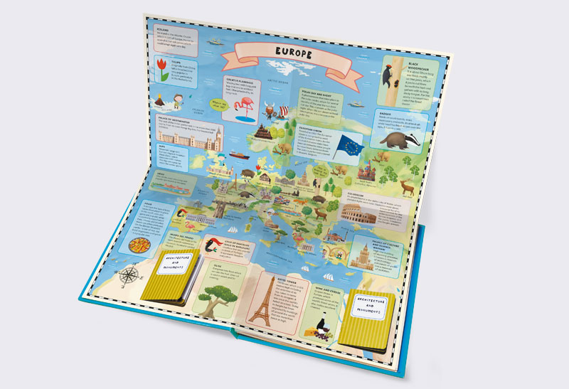
9 spreads with gatefold + 15 booklets
Sold to:
Polish, Dutch, English for USA and Canada and Phillipines, Greek, Simplified Chinese, Bulgarian, Mongolian, Latvian, Portuguese for Europe,Thai, English for China, Spanish for Latin America, Romanian, Georgian, Serbian, Lithuanian, Spanish, Korean, Vietnamese, English, German
Let's explore world in seven folding maps.
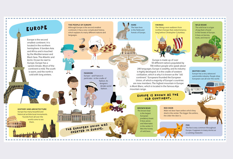
World Atlas is intended for all young travellers who yearn to learn as many interesting facts about our planet as possible. Every continent has its own chapter and a large fold-out map where readers will find full-colour illustrations representing what is the most typical for each continent. Young reader will be presented with a large amount of infomation – not only about the inhabitants, animals or plants, but also about the local architecture, customs and culture itself.
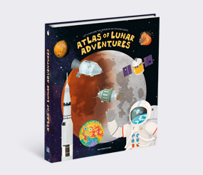
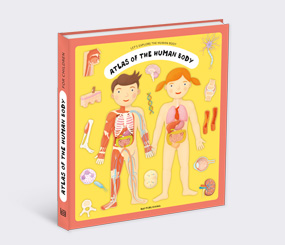
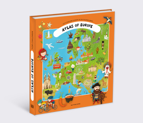
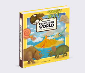
Books from the series
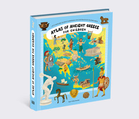
Atlases for Children
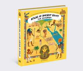
Atlases for Children
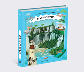
Atlases for Children
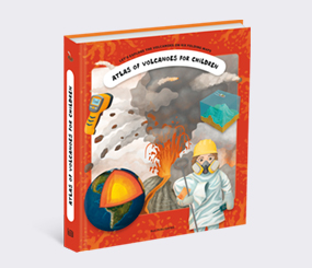
Atlases for Children
Atlases for Children
Atlases for Children
Atlases for Children
Atlases for Children
Atlases for Children
Atlases for Children
Atlases for Children
Atlases for Children